|
|

NDFD Spatial Reference System
NDFD Grids
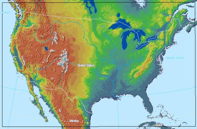
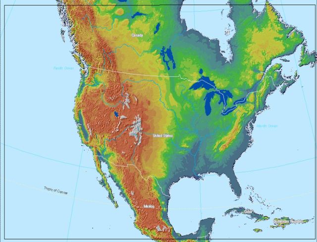
NDFD data are stored as points on regular grids. There are 6 grids with each grid derived
from points projected from a sphere of radius 6371.2 km. The CONUS and Northern Hemisphere
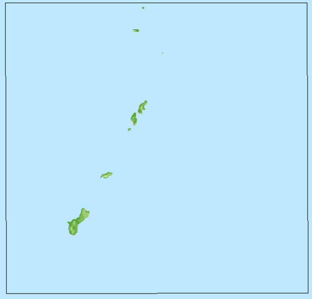
grids use a Lambert Conformal projection while the Guam, Hawaii, Puerto Rico, and Northern Pacific
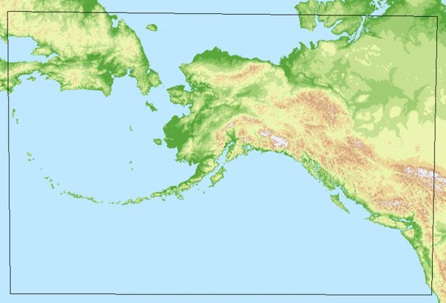
grids use a Mercator projection. The Alaska grid is based on a Polar Stereographic projection.
Additional meta-data on NDFD grids are available in
three grid definition tables below.
NDFD Horizontal Datum
NDFD Vertical Datum
Grid Locations and Extent
The NDFD grids, as described in the tables below, are the result of projecting a sphere onto a
flat surface. The corner of the grid is found at the point identified in the grid parameters tables
as latitude1 and longitude1. Each table lists the number of points in the grid which is the product of
the number of points on the parallel and meridian. Grid points are seperated by Dx meters along the x
axis (longitude) and Dy meters along the y axis (latitude). The projection type, earth radius, and
other grid definition parameters are provided in the tables below. For more
information on decoding GRIB2 files, see the section on GRIB2 Links.
CONUS and Northern Hemisphere Grids
| Grid Parameter |
CONUS 5km |
CONUS 2.5km |
Northern Hemisphere |
| Number of Points |
739297 |
2953665 |
1509825 |
| Projection Type |
Lambert Conformal |
Lambert Conformal |
Lambert Conformal |
| Shape of Earth |
sphere |
sphere |
sphere |
| Earth Radius |
6371.2 km |
6371.2 km |
6371.2 km |
| Number of Points on the parallel |
1073 |
2145 |
1473 |
| Number of Points on the Meridian |
689 |
1377 |
1025 |
| Latitude1 |
20.191999 |
20.191999 |
12.189999 |
| Longitude1 |
238.445999 |
238.445999 |
226.541000 |
| u/v vectors relative to |
easterly/northerly |
easterly/northerly |
easterly/northerly |
| Dx |
5079.406 m |
2539.703 m |
5079.406 m |
| Dy |
5079.406 m |
2539.703 m |
5079.406 m |
| GRIB2 grid, scan mode |
64 (0100) |
64 (0100) |
64 (0100) |
| Scan i/x direction |
positive |
positive |
positive |
| Scan j/y direction |
positive |
positive |
positive |
| Consecutive points in |
i/x direction |
i/x direction |
i/x direction |
| Adjacent rows scan in |
same direction |
same direction |
same direction |
| Mesh Latitude |
25 |
25 |
25 |
| Orientation Longitude |
265 |
265 |
265 |
| Which Pole is on the Plane |
north |
north |
north |
| Is Projection Bi-polar |
no |
no |
no |
| Tangent Latitude1 |
25 |
25 |
25 |
| Tangent Latitude2 |
25 |
25 |
25 |
| Southern Latitude |
-90 |
-90 |
-90 |
| Southern Longitude |
0 |
0 |
0 |
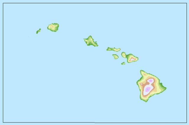
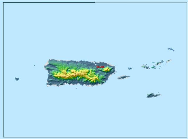
Guam, Hawaii, Puerto Rico Grids, Northern Pacific and Oceanic Grids
| Grid Parameter |
Guam |
Hawaii |
Puerto Rico |
N. Pacific |
Oceanic |
| Number of Points |
37249 |
72225 |
75936 |
1580529 |
4512981 |
| Projection Type |
Mercator |
Mercator |
Mercator |
Mercator |
Mercator |
| Shape of Earth |
sphere |
sphere |
sphere |
sphere |
sphere |
| Earth Radius |
6371.2 km |
6371.2 km |
6371.2 km |
6371.2 km |
6371.2 km |
| Number of Points on the parallel |
193 |
321 |
339 |
1473 |
2517 |
| Number of Points on the Meridian |
193 |
225 |
224 |
1073 |
1793 |
| Latitude1 |
12.349884 |
18.072699 |
16.977485 |
-25.000000 |
-30.4192 |
| Longitude1 |
143.686538 |
198.474999 |
291.972167 |
110.000000 |
129.906000 |
| u/v vectors relative to |
easterly/northerly |
easterly/northerly |
easterly/northerly |
easterly/northerly |
easterly/northerly |
| Latitude2 |
16.794399 |
23.087799 |
19.544499 |
60.643999 |
79.991525 |
| Longitude2 |
148.280000 |
206.130999 |
296.015600 |
250.871000 |
10.689223 |
| Dx |
2500.0 m |
2500.0 m |
1250.0 m |
10000.0 m |
10000.0 m |
| Dy |
2500.0 m |
2500.0 m |
1250.0 m |
10000.0 m |
10000.0 m |
| GRIB2 grid, scan mode |
64 (0100) |
64 (0100) |
64 (0100) |
64 (0100) |
64 (0100) |
| Scan i/x direction |
positive |
positive |
positive |
positive |
positive |
| Scan j/y direction |
positive |
positive |
positive |
positive |
positive |
| Consecutive points in |
i/x direction |
i/x direction |
i/x direction |
i/x direction |
i/x direction |
| Adjacent rows scan in |
same direction |
same direction |
same direction |
same direction |
same direction |
| Mesh Latitude |
20 |
20 |
20 |
20 |
20 |
| Orientation Longitude |
0 |
0 |
0 |
0 |
0 |
| Tangent Latitude1 |
0 |
0 |
0 |
0 |
0 |
| Tangent Latitude2 |
0 |
0 |
0 |
0 |
0 |
| Southern Latitude |
0 |
0 |
0 |
0 |
0 |
| Southern Longitude |
0 |
0 |
0 |
0 |
0 |
Alaska Grid
| Grid Parameter |
Alaska |
| Number of Points |
456225 |
| Projection Type |
Polar Stereographic |
| Shape of Earth |
sphere |
| Earth Radius |
6371.2 km |
| Number of Points on the parallel |
825 |
| Number of Points on the Meridian |
553 |
| Latitude1 |
40.530101 |
| Longitude1 |
181.429000 |
| u/v vectors relative to |
easterly/northerly |
| Dx |
5953.125 m |
| Dy |
5953.125 m |
| GRIB2 grid, scan mode |
64 (0100) |
| Scan i/x direction |
positive |
| Scan j/y direction |
positive |
| Consecutive points in |
i/x direction |
| Adjacent rows scan in |
same direction |
| Mesh Latitude |
60 |
| Orientation Longitude |
210 |
| Which Pole is on the Plane |
north |
| Is Projection Bi-polar |
no |
| Tangent Latitude1 |
90 |
| Tangent Latitude2 |
90 |
| Southern Latitude |
0 |
| Southern Longitude |
0 |
For users interested in processing GRIB2 files, there is a wealth of on-line resources to
assist you will understanding the specification and decoding file contents. The following links
will help you tap into this treasure trove of information:
|